Tuesday, April 9, 2013

Additional Sections


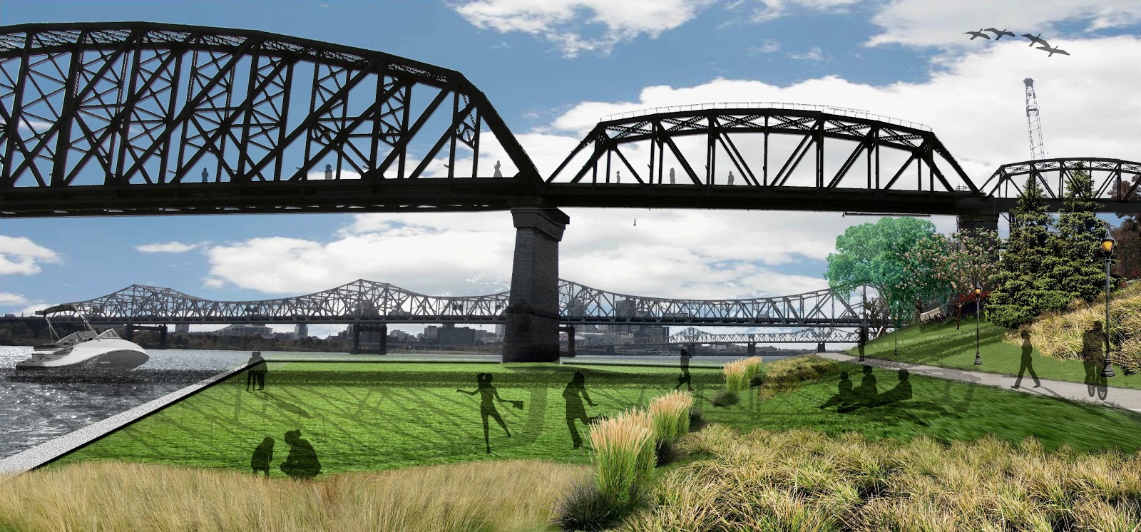
These sections are coming along nicely I believe.  The top one is of the street relation of building fronts to the entry plazas, urban swale, sidewalk, and road.  It was produced completely in photoshop.  The bottom section is a autocad base of line work that shows that built swale.  It needs to be labeled still, and serves as an illustrated detail drawing.  I believe i am going to fade the color even more that currently, because it takes away from the linework, which was the purpose of the drawing, and it also looks too similar to the one above it.  


Photomontage Perspective Updates


The final steps to these photomontages were to add more shade, shadow, and entourage.  My favorite one is the first one.  A dusk rendering of an amphitheater that has a floating stage and cantilever structure.  I think that these images have come a long way, but i still see areas that i could improve on.  The image of the ramp landing area is one where i just cant seem to get everything to come together and look cohesive.  I think these images communicate my design effectively overall, and look well designed and though out when placed to images of the existing conditions.       


Tuesday, April 2, 2013

Portfolio


Photoshop Sections


These sections were produces in photoshop with only a couple of hours of work on each one.  As I do more and more they go faster and faster.  They are becoming a quick and illustrative way to depict the separations of spaces.  

Monday, February 25, 2013

LA 480 Final Photomontages


Final perspective images have been touched up and had minor changes made since the last submitted copies.  The entourage has been touched up and made consistent  and the shadows have been tweaked.  Small details were the finishing touches on these perspectives.    

LA 480 Diorama Photos


Monday, February 18, 2013

LA 480 Unit 4.2 Spatial Diagramming 75% Complete


The beginnings of spatial analysis of the city context of Jeffersonville, Indiana along the waterfront of the Ohio River.  Next steps for completion include inventory and analysis graphics to be overlaid.  The Ohio River, interstate 65, north arrow, etc. will be added as additional layers to complete the analysis aspect and make the structures of the layers self standing and graphically legible.